Redevelopment feasibility in Japan
Redevelopment feasibility in Japan rests on five interdependent variables: site control, planning envelope, programme, cost, and market assumptions.

What determines whether a redevelopment project in Japan is feasible
Redevelopment feasibility in Japan rests on five interdependent variables: site control, planning envelope, programme, cost, and market assumptions. Each variable must be verified against official records before a scheme is treated as viable. The following method gives a structured review process.
Site control: ownership, encumbrances, and leaseholds
The first feasibility condition is that the developer can legally build on the site. Trace the ownership chain through the Land Register (登記簿), maintained by the Legal Affairs Bureau (法務局). The register shows the current owner, mortgages, easements, and any registered leaseholds. Up to 5% of parcels have unregistered heirs or unregistered transfers, especially in rural areas, because updating the register is voluntary until a sale or inheritance tax filing (Japan Legal Affairs Bureau, 2023). The Cadastral Map (地図) records parcel boundaries but is a separate system; the two may not agree on parcel shape or area.
For sites with existing tenancies, the Act on Land and Building Leases (借地借家法, 1991 revision) gives tenants a right to renewal unless the landlord has a justifiable reason. A registered lease term may not reflect the effective occupancy period. The minimum land lease term is 30 years for newly concluded leases; the minimum building lease term is 1 year for residential and 3 years for non-residential (Act on Land and Building Leases, 1991). Tenant relocation compensation has no statutory fixed formula; it is negotiated case by case, guided by local government practice (Urban Redevelopment Act, 都市再開発法, source: e-Gov Japan, 2023).
Decision rule: If the land register shows more than one owner or any registered leasehold, the project requires a unanimous consent path or a statutory consent threshold under the Urban Redevelopment Act: two-thirds of landowners by area and number for first-class redevelopment projects (Urban Renaissance Act, 都市再生特別措置法, 2002). A single minority co-owner can block a voluntary project.
Planning envelope: zoning, FAR, BCR, and setbacks
The maximum building volume is defined by the zoning district, floor-area ratio (容積率, yousekiritsu), building coverage ratio (建蔽率, kenpeiritsu), and road-width rules. These are set out in the municipal Urban Planning Map (都市計画図) and the Building Standards Act (建築基準法).
Floor-area ratio (FAR) ranges from 50% to 1300% of site area, depending on zoning and road width (Building Standards Act, 1950, as amended). The published FAR is a maximum; shadowing, setback, and parking requirements typically reduce achievable floor area by 10-30% (MLIT, 2022).
Building coverage ratio (BCR) ranges from 40% to 80% of site area (Building Standards Act).
Road frontage: The site must abut a road of at least 4 m width (Article 42, Building Standards Act). If the road is narrower, the landowner must dedicate 6-10% of the site for widening.
Height limits and daylight obstruction: Height is capped at 10-60 m depending on zoning and road width, with north-side shadow restrictions of 1.25-2.5 times the adjacent building height (Building Standards Act).
Decision rule: Calculate the base floor area as site area × FAR, then deduct 10-30% for realistic buildable area. Verify the actual road width on the cadastral map, not the paved width. Obtain a planning certificate (都市計画証明書) from the municipal planning department; it states the applicable zoning, FAR, BCR, and any district plan (地区計画) restrictions (City Planning Act, 1968). The fee is 500-1,000 yen (source: municipal planning offices, 2023).
Programme: consent, permits, and timeline
Feasibility depends on whether the project can obtain a building permit (建築確認申請) within a reasonable time. The permit review period is 21 days standard, extendable to 35 days for large projects (Building Standards Act, Article 6). The permit lapses if construction does not start within the statutory period, typically 1 to 3 years (Building Standards Act).
For projects in a Redevelopment Promotion Area (市街地再開発促進区域), the Urban Renaissance Act provides a framework for coordinated projects, including a public notice period of at least 2 weeks for plan display (Urban Renaissance Act, 2002). The consent threshold for first-class redevelopment is two-thirds of landowners by area and number, and two-thirds of tenants by number (Urban Renaissance Act).
Decision rule: Map the permit and consent timeline. If the site requires a zoning change or a district plan amendment, add 6-12 months for municipal council approval. If the building was constructed before 1981, a seismic retrofit assessment is mandatory for large-scale redevelopment (Building Standards Act, 2006 revision). The seismic design requirement applies to buildings of 3 stories or more, or 1,000 m² floor area, which must undergo a seismic review (Building Standards Act, 2006 revision).
Cost: construction, demolition, and fees
The cost side includes demolition, new construction, professional fees, and relocation compensation.
Demolition cost: For reinforced concrete, estimate 20,000-40,000 yen per m² of floor area, varying by location and asbestos presence (source: MLIT construction cost indices, 2023; verify current figures with a licensed contractor).
New construction cost: Published annually by MLIT per m² by building type (source: MLIT, revised annually).
Professional fees: Licensed professionals are required by law for specific tasks: a land and building surveyor (土地家屋調査士) for boundary surveys, a judicial scrivener (司法書士) for registration documents, and a real-estate appraiser (不動産鑑定士) for formal valuations (Japan Real Estate Appraisal Standards, MLIT, last revised 2021).
Registration and tax: Registration tax is 2.0% of property value for ownership transfer; real estate acquisition tax is 3.0% of assessed value (Local Tax Act; source: e-Gov Japan, 2023). These rates are set annually.
Decision rule: Build a cost model with three scenarios: optimistic, base, and pessimistic. Use the MLIT construction cost index (base year 2020 = 100) and the JREI commercial property rent index (source: Japan Real Estate Institute, published quarterly). Do not use fixed-asset valuations as a market proxy; they are typically 50-70% of market price and reassessed every 3 years (Local Tax Act; source: e-Gov Japan, 2023).
Market assumptions: land price, rent, and exit
Feasibility requires a credible market value at project exit. The official land price (公示地価, Chika Kouji) is published annually by MLIT, effective 1 January each year (source: MLIT, annual). The roadside land price (路線価, rosenka) is published by the National Tax Agency for inheritance tax, also effective 1 January (source: National Tax Agency, annual). Both are lagging indicators; use them as a floor, not a target.
The income approach uses a capitalization rate of 3-6% for urban commercial property (source: Japan Real Estate Institute, 2023). The sales comparison method uses comparable transactions from official registry records, typically within 6 months of the valuation date (Japan Real Estate Appraisal Standards, MLIT, 2021).
Decision rule: Cross-reference Chika Kouji with recent transaction records from the Legal Affairs Bureau. If the land price has risen more than 10% year-on-year, the fixed-asset valuation gap widens; adjust the market assumption upward. For rental income, use the JREI commercial property rent index (Tokyo 23 wards office data, published quarterly). Do not assume that a high FAR bonus of up to 1.5 times base FAR for public space provision under the Urban Renaissance Act fully offsets market risk.
How to apply the five-variable review
Work through the variables in order. Site control comes first because no planning envelope or programme matters without a buildable site. Then confirm the planning envelope, because zoning and road-width caps set the maximum volume a programme can deliver. Programme follows: a permit timeline that stretches beyond the developer’s holding capacity kills feasibility regardless of cost or market assumptions. Cost modelling tests whether the permitted volume can be delivered within a budget that the market assumptions support. Market assumptions come last, because they validate whether the completed project meets a return threshold.
For each variable, request the primary document rather than a summary. For site control, order the Land Register extract and cross-check it against the Cadastral Map. For the planning envelope, obtain the planning certificate and measure the road width on site. For programme, confirm the permit review period and any district plan amendment schedule with the municipal building department. For cost, use the current MLIT construction cost index and obtain three contractor estimates for demolition and new construction. For market assumptions, pull the latest Chika Kouji, rosenka, and JREI rent index, then compare them with at least three recorded transactions from the Legal Affairs Bureau.
A project that passes all five checks with conservative assumptions is worth advancing to a formal feasibility study. If any variable fails, identify the specific constraint and test whether a statutory mechanism, such as the Urban Renaissance Act consent threshold or a district plan amendment, can resolve it within an acceptable timeline.
Frequently Asked Questions
What is the first document I should obtain for a redevelopment site?
The Land Register (登記簿) from the Legal Affairs Bureau. It shows current ownership, mortgages, easements, and registered leaseholds. Without it, site control cannot be verified.
How do I find the real, usable floor-area ratio for a site?
Start with the published FAR from the municipal planning certificate, then deduct 10-30% for setbacks, shadowing, and parking requirements as per the Building Standards Act. A licensed architect or building confirmation body can calculate the precise figure.
Can a single co-owner block redevelopment?
Yes, for a voluntary project. Under the Urban Renaissance Act, a first-class redevelopment project requires two-thirds consent of landowners by area and number. If one co-owner holds more than one-third, they can block the project.
What is the difference between the Land Register and the Cadastral Map?
The Land Register records ownership and encumbrances; the Cadastral Map records parcel boundaries. They are maintained by different agencies and may not agree on parcel shape or area. Both are needed for due diligence.
Read next
-
Read Japanese zoning and land-use information
Japanese land-use control is not one document. It is a stack of separate legal instruments.
-
Compare rebuilding and refurbishment options
When you face an older building in Japan, the practical question is rarely “renovate or demolish?” in the abstract.
-
Build a property-development risk register
A property-development risk register is a working document that forces every assumption about a Japanese site to be tested against a named record before you treat the scheme as viable.
-
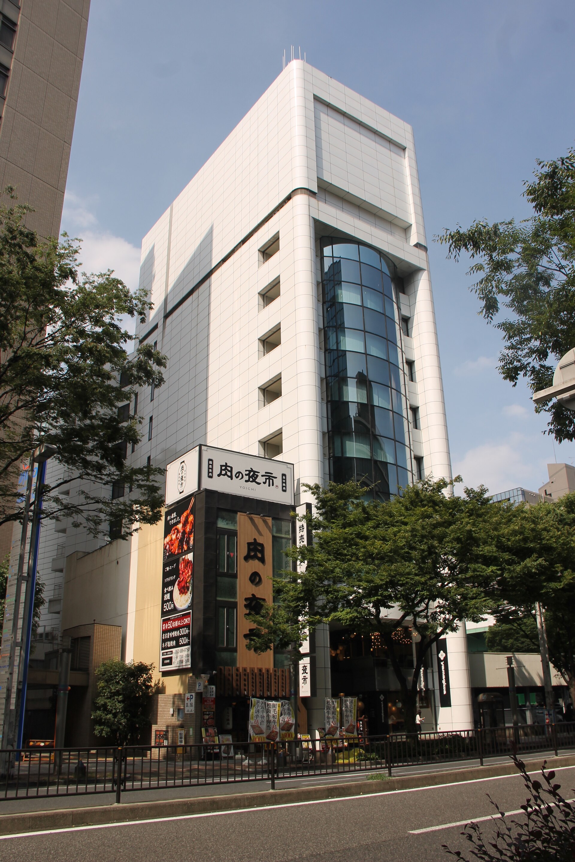 不動産開発・建替え計画の進め方
Japanese property redevelopment is an evidence problem before it is a construction problem.
不動産開発・建替え計画の進め方
Japanese property redevelopment is an evidence problem before it is a construction problem.
-
Tenancy and relocation evidence
This article explains the evidence framework for tenancy and relocation in Japanese real estate. It is not a legal opinion, a compensation calculator, or a negotiation playbook.