Development and rebuilding plans
When you begin researching Japanese property for redevelopment or rebuilding, discard the assumption that the records are centralised. They are not.

When you begin researching Japanese property for redevelopment or rebuilding, discard the assumption that the records are centralised. They are not. Ownership sits in a local Legal Affairs Bureau (法務局), boundaries on a cadastral map that may not be fully reconciled with the land register, planning constraints in a municipal urban-planning section, and construction history in a separate confirmation file. No single national portal shows you, at a glance, whether a site can be rebuilt as you imagine. A development plan is only as reliable as the records you can locate and read before you commit money to it.
This article explains the main choices in Japanese redevelopment and rebuilding, the records you need, the traps that make a scheme look viable when it is not, and where to go next. Four focused guides under this topic own the detail; this article orients you and tells you which records to trust at each stage.
What “development and rebuilding plans” means in Japanese property research
When researchers in Japan talk about 再開発 (sai-kaihatsu, redevelopment) and 建替え (tatekae, rebuilding), they are describing a chain of decisions that starts with a parcel and ends with a new or renovated building. The chain runs through several separate record systems:
- The land register (登記簿) at the local Legal Affairs Bureau (法務局), which records ownership, mortgages, easements, and leasehold rights.
- The cadastral map (地図), which defines parcel boundaries and may be digitised but is not always fully aligned with the land register.
- The building confirmation application (建築確認申請), filed with the local government for new construction and containing the approved plans and compliance checks.
- The urban planning map (都市計画図), which shows zoning districts, road plans, and public facility reservations.
- The fixed asset tax register (固定資産税台帳), which records assessed value and building details for municipal tax purposes.
- The koseki (戸籍), the family registry used to trace inheritance chains when ownership is unclear.
Newcomers often assume Japanese property records are a single, centralised database. In reality, they are fragmented across local Legal Affairs Bureaus, municipal planning departments, and archived corporate registries, with no unified national portal for private use. This article explains how to locate and interpret those records, compare the main redevelopment routes, and decide when a scheme is worth taking to the next stage.
What counts as a development or rebuilding plan
A development or rebuilding plan is a documented proposal to change the use, layout, or structure of a land parcel. In Japanese practice the plan is not one document; it is a bundle of records assembled from several sources:
- 登記 (tōki), the official land and building register, held at the Legal Affairs Bureau (法務局).
- 地図 (chizu), the cadastral map showing parcel boundaries.
- 都市計画図 (toshi keikaku zu), the urban planning map showing zoning and public facility reservations.
- 建築確認申請 (kenchiku kakunin shinsei), the building confirmation application filed with the local government.
- 固定資産税台帳 (kotei shisan zei daichō), the municipal fixed-asset tax register.
The purpose of a development or rebuilding plan is to test whether a property can legally and practically be changed. That test is not a single document check. It is a sequence of cross-referenced checks across registers, maps, planning files, and tax ledgers. This article explains the sequence, the main choices, and how to route into the focused guides that cover each stage.
Start with the ownership record, not the building
Before any redevelopment or rebuilding plan can be assessed, the ownership chain must be verified. The land register (登記簿) held at the local Legal Affairs Bureau (法務局) is the authoritative record of ownership, mortgages, easements, and other encumbrances. It is not a single national database. Japan’s property records are fragmented across regional Legal Affairs Bureaus, municipal planning departments, and archived corporate registries. There is no unified national portal for private use as of this writing.
The cadastral map (地図) is a separate official record of parcel boundaries. It is maintained by the Legal Affairs Bureau but is not always fully integrated with the land register. A parcel can show a clean register while the cadastral map still carries a boundary error from an older survey. In rural areas, positional errors of several metres are possible. For any redevelopment scheme, confirm the parcel boundary against the cadastral map, not only the land register.
The family registry (戸籍, koseki) is relevant when ownership passes by inheritance. The land register records the current owner, but it does not automatically show the full inheritance chain. Heirs tracing a vacant property often need the koseki to prove who succeeded to the deceased owner’s interest before the registry can be updated. This is a procedural step, not a valuation shortcut.
What a development plan actually is
A development plan is a documented proposal for changing what is built on a site. In Japan, the plan becomes legally meaningful only when it is checked against four separate sets of records:
- The land register (登記簿) at the local Legal Affairs Bureau (法務局) shows the current owner, the parcel number, the registered area, and any mortgages, easements, or other encumbrances.
- The cadastral map (地図) shows the official parcel boundaries. This map is maintained separately from the land register and is not always fully aligned with it.
- The urban planning map (都市計画図) shows zoning, road plans, and public facility reservations.
- The building confirmation record (建築確認申請) shows what was approved for the current building, which matters when you plan to demolish or renovate.
The first practical step is not to open a map or a calculator. It is to identify which records exist for the site and which official bodies hold them. Japanese property records are fragmented: the Legal Affairs Bureau (法務局) holds the land register and cadastral maps, the municipal planning department (市町村都市計画課) holds zoning and building permits, and the local tax office holds the fixed-asset register. There is no single national portal that combines all four. The practical sequence is: 1) obtain the parcel identifier from the cadastral map, 2) request the land register for that parcel, 3) obtain the building confirmation records from the municipality, 4) check the urban planning map for zoning and road plans, and 5) cross-referrence the family registry (koseki) if inheritance is involved. This sequence is the basis for every redevelopment assessment.
The most common misconception is that a single “land registry” record reveals everything about a property. In reality, the 登記簿 (land register) shows ownership, mortgages, and easements, but it does not show building code compliance, planning permission history, or physical condition. Cadastral maps (地図) are maintained separately and may contain boundary errors. A due-diligence process must therefore combine at least four independent sources: the land register, the cadastral map, the building confirmation application, and the fixed-asset tax register.
Verifying the ownership chain
Request the land register (登記簿) from the local Legal Affairs Bureau (法務局) that has jurisdiction over the parcel. The register is organised by parcel number, not by address, so obtain the parcel identifier from the cadastral map first. Check the ownership section for the current registered owner and any mortgages, easements, or leasehold rights recorded against the title. A clean ownership entry does not guarantee a clean boundary, so proceed to the cadastral map next.
Reconciling the cadastral map
Obtain the cadastral map (地図) from the same Legal Affairs Bureau. Compare the parcel boundaries shown on the map with the registered area in the land register. In urban areas, digitised maps are common, but rural parcels may still rely on paper maps with positional errors of several metres. If the boundary does not match the register, commission a boundary survey before committing to any redevelopment cost. This step is especially critical when the site abuts a road or a neighbouring parcel with an unclear ownership history.
Tracing inheritance through the family registry
When the registered owner is deceased or the ownership history shows gaps, obtain the family registry (戸籍, koseki) from the municipal office of the owner’s registered domicile. The koseki traces the legal heirs and establishes who holds the right to transfer or redevelop the property. Without this step, a redevelopment plan cannot proceed because the party with authority to sell or build remains unidentified. Treat the koseki as a procedural requirement, not as a substitute for a title search.
Cross-checking zoning and road plans
Visit the municipal planning department (市町村都市計画課) and request the urban planning map (都市計画図) for the parcel’s district. Confirm the zoning classification, any designated road-widening plans, and public facility reservations that could restrict redevelopment. A parcel zoned for low-rise residential use cannot be redeveloped as a commercial building without a zoning change, which is a separate administrative process with its own timeline and uncertainty.
Obtaining the building confirmation record
Request the building confirmation application (建築確認申請) from the municipal building department. This file contains the approved plans for the current structure, including floor area, height, and structural calculations. When you plan to demolish or renovate, this record tells you what was legally approved versus what may have been built without permission. Unapproved additions or modifications can delay or block a redevelopment scheme.
Comparing the fixed-asset tax register
Obtain the fixed-asset tax register (固定資産税台帳) from the local tax office. This ledger records the assessed value, building dimensions, construction date, and use classification for municipal taxation. Cross-reference these details with the building confirmation record. Discrepancies between the tax ledger and the approved plans often reveal unpermitted construction, which must be resolved before a lawful redevelopment can proceed.
The main redevelopment routes
Once you have assembled the records, you face a choice between two broad approaches. The first is rebuilding on the same footprint under existing zoning, which requires a new building confirmation application but no zoning change. The second is a larger redevelopment that changes the use, height, or density, which requires consultation with the municipal planning department and may involve a rezoning application, public notice, and neighbourhood consultation. The route you choose determines which additional records you need and how long the approval process will take.
For a straightforward rebuild, confirm that the existing building complies with current building code standards, not only with the standards in force when it was built. Older structures often predate seismic or fire-safety updates, and a rebuild triggers current-code compliance. For a larger redevelopment, commission a planning feasibility study that maps zoning constraints, road-access requirements, and shadow restrictions against your proposed design before submitting any formal application.
Common traps that make a scheme look viable when it is not
Several traps can mislead a developer who relies on a single record source. A parcel with a clean land register can sit on a cadastral map that shows a boundary dispute with a neighbour. A building confirmation record can show approved plans that were never built as drawn. A zoning map can appear to permit a use that a more specific district plan prohibits. The only defence is to cross-reference all four sources and resolve discrepancies before committing funds.
Another trap is the assumption that a vacant property with an unclear owner can be acquired cheaply and redeveloped quickly. Tracing heirs through the koseki can take months, and multiple heirs may need to consent to a sale. Budget time and legal fees for this process before treating the site as a development opportunity.
Where to go next
After you have located the land register, cadastral map, building confirmation record, and urban planning map, you are ready to move into the focused guides. Each guide covers one stage in depth: obtaining and reading the land register, interpreting cadastral boundaries and surveys, understanding zoning and road plans, and navigating the building confirmation process for new construction. Start with the ownership guide if the title is unclear, or with the zoning guide if the title is settled and you need to test what can be built.
Read next
-
Redevelopment feasibility in Japan
Redevelopment feasibility in Japan rests on five interdependent variables: site control, planning envelope, programme, cost, and market assumptions.
-
Read Japanese zoning and land-use information
Japanese land-use control is not one document. It is a stack of separate legal instruments.
-
Compare rebuilding and refurbishment options
When you face an older building in Japan, the practical question is rarely “renovate or demolish?” in the abstract.
-
Build a property-development risk register
A property-development risk register is a working document that forces every assumption about a Japanese site to be tested against a named record before you treat the scheme as viable.
-
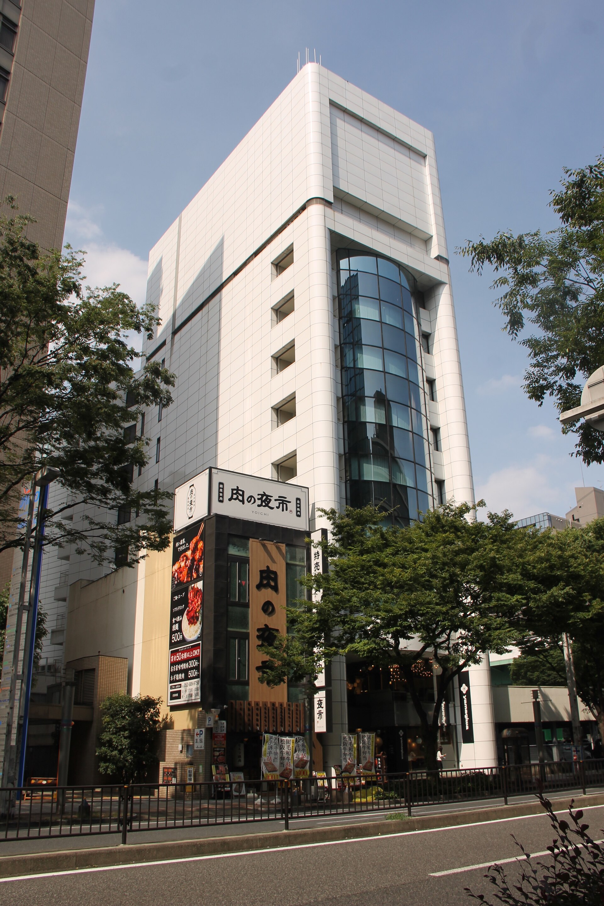 不動産開発・建替え計画の進め方
Japanese property redevelopment is an evidence problem before it is a construction problem.
不動産開発・建替え計画の進め方
Japanese property redevelopment is an evidence problem before it is a construction problem.
-
Tenancy and relocation evidence
This article explains the evidence framework for tenancy and relocation in Japanese real estate. It is not a legal opinion, a compensation calculator, or a negotiation playbook.